
Achievements (Overseas Project)
GIPTA2.0 (GNSS Implementation Plan Training in ASEAN)
Client: JAIF (Japan-ASEAN Integration Fund)
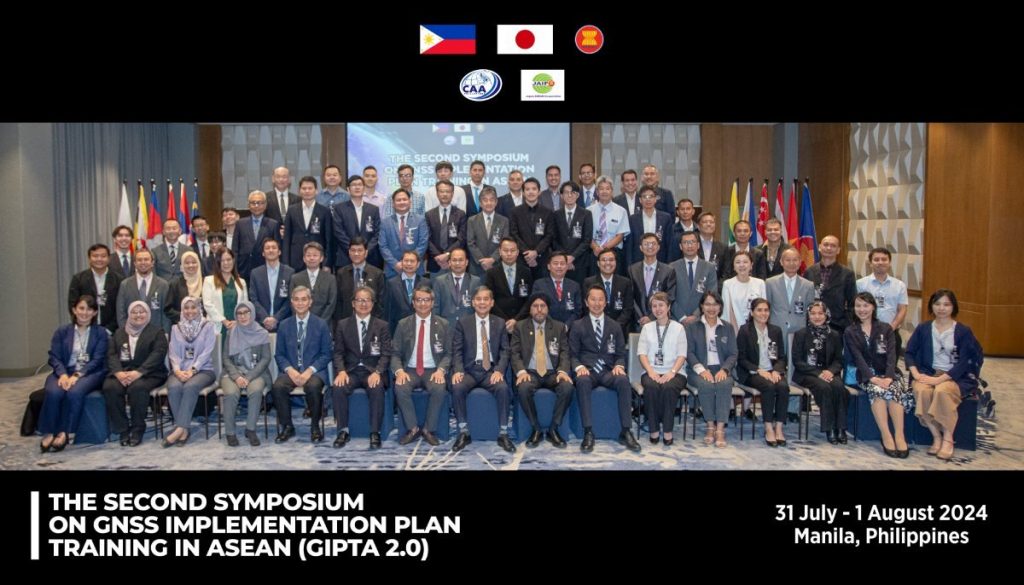
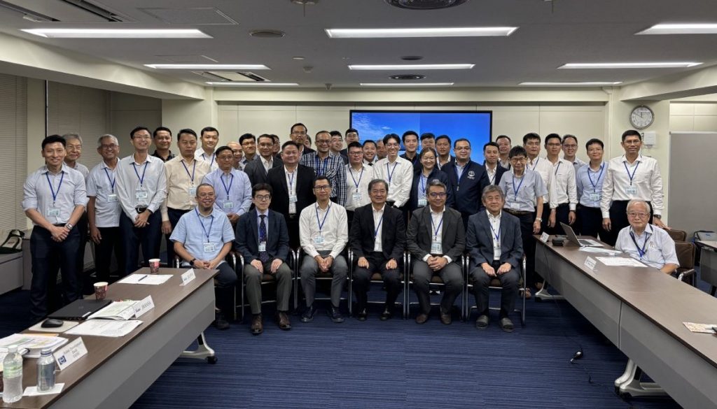
GIPTA 2.0 (GNSS Implementation Plan Training in ASEAN) is a follow-up project of GIPTA 1.0, which was initiated from 2022, to support human resource development in target countries in order to safely and efficiently introduce the next-generation satellite-based systems in the ASEAN region. With a support from JAIF, JRANSA has been the core of the project over 30 months since February 2024. In July 2024, a symposium was held in Manila to understand the core technologies of GNSS (SBAS, GBAS, etc.) and to discuss the future direction of GNSS implementation in the ASEAN region. In addition, three regional workshops were held in the ASEAN region, and aviation officials from 10 ASEAN countries were invited to Japan to observe JCAB's GNSS-related facilities, acquire the latest technological information, and discuss the future direction of GNSS implementation in the ASEAN region. Furthermore, the GNSS analysis equipment has been installed in four ASEAN countries, and an SBAS simulator is implemented using GNSS reception data at these four locations. In May 2026, the training on signal generation methods using the SBAS simulator was conducted in Manila, and the project is progressing toward the introduction of GNSS in the ASEAN region.
ATC Improvement Project to Enhance Flight Processing Capabilities at Tribhuvan International Airport, Nepal
Client: Japan International Cooperation Agency (JICA)
As Nepal stretches approximately 800 km from east to west, and about 80% of its land area is covered by hills and mountains, the air transportation is a vital means of transfer of goods and services alongside land routes. Tribhuvan International Airport (TIA) serving the capital city of Kathmandu is a major hub for both international and domestic flights, and the air transport demand increased significantly from 4.68 million passengers and 93,000 take-offs and landings in 2013 to 7.19 million passengers and 129,000 take-offs and landings in 2018. As a result, the runway capacity has become constrained, leading to frequent delays for landing and departing aircraft, and also impacting delays at regional airports.
In response to these challenges, the Civil Aviation Authority of Nepal (CAAN) is considering the introduction of Airport Collaborative Decision Making (A-CDM), which optimizes the accuracy of departure times by sharing operational information among stakeholders, and Air Traffic Flow Management (ATFM), which coordinates flight plans and controls en-route air traffic flow. They also aim to improve ATC efficiency and increase the runway capacity through improving the approach and departure routes and the introduction of new ATC procedures. Furthermore, following the implementation of localizers with grant aid, they are considering the introduction of Ground Based Augmentation System (GBAS), which enables curved approaches suitable for mountainous terrain and is expected to improve the safety and on-time performance. For this purpose, the ionospheric analysis is necessary which affects the GBAS performance.
Given these circumstances, the Nepalese government has requested the support from Japan for the introduction of A-CDM/ATFM in TIA, the efficiency of airspace operations and the strengthening of CAAN's capacity for developing those air navigation systems. In response to this request, JICA implemented the "ATC Improvement Project to enhance Flight Processing Capabilities at Tribhuvan International Airport" and JRANSA was awarded the contract. Through on-site and training and workshops in Japan, trial operations and the development of future implementation plan, JRANSA is contributing to improving TIA's flight processing capabilities.
*This picture is an AI-generated image.
Survey on the International Development of “Drone Routes”
Client: Intent Exchange Co., Ltd.
JRANSA supported a basic survey for the international development of next-generation drone operation management systems (UTM) and Japan's original "drone routes". This survey was conducted as part of NEDO's (New Energy and Industrial Technology Development Organization) Digital Lifeline Development Project.
In recent years, the utilization of drones has rapidly developed in such fields as logistics, infrastructure inspection and disaster response, and the realization of the BVLOS (Beyond Visual Line Of Sight) flight has become a crucial issue. Accordingly, the introduction and consideration of UTM (Unmanned Aircraft System Traffic Management) is accelerating worldwide as a mechanism to support the safe and efficient operation.
This study clarifies the adoption status of UTM in the Asian region, related regulations and market trends. It also provided a basic study how a Japanese-developed “drone route” model (a safe flight route considering ground risks) can be utilized and applied in Asian countries by examining the specific circumstances of each Asian country and assessing the compatibility of "drone route" concept with the regulations and operational environments in various countries.
The insights gained through this study are expected to serve as foundational data for the international standardization and developments of Japanese-developed drone operation management technology.

*This picture is an AI-generated image.